After completing our Middle Fork Salmon trip and providing shuttle for people and gear back to Stanley, we decided to give a call to the West Fork Ranger District just to see if the Selway was runnable. Given that it was at 1.2 feet and falling a couple weeks before the MF trip, we didn’t expect much. Well, with the rain of the previous few days, the Selway had come up from near unrunnable levels to 1.1 feet, which is higher than our previous two trips. We had to do it! For those of you who don’t know, it is next to impossible to draw a permit in the lottery for the permit season which ends on July 31, especially the earlier dates with higher water.
Our previous trip on the Selway was the year before, launching on August 2 after the horde of people (22 groups) that launched the first day of the non-permit season. This was a lot for a river that allows only 1 group launch each day during the permit season. The river stage last year was around 1.0 feet on the gage at Paradise. This year we launched on August 9. As far as we know, one other group launched the day we did. The gage at Paradise was reading 1.1 feet. This is probably around 1,000 cfs 50 miles downstream at Selway Falls which means we had maybe 300 cfs at the put-in.
We lucked out in having a friend near Hamilton, Montana to visit with before the run and she even rode down to put-in with us and drove the truck back to town, saving on the shuttle cost. Definitely have Karen Kidd of Selway River Shuttles do the shuttle for you. You are looking at over 12 hours driving if you try it yourself. The $$ she charges is reasonable and well worth it.
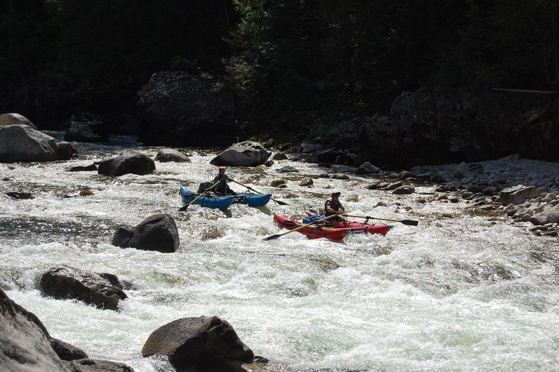
Although there are numerous creeks that add water all the way along, you really don’t get a lot of water until Moose Creek – 26 miles downstream. The first couple of days are pretty bony, putting a lot of wear and tear on your boat. Anyone who doesn’t want to scratch their pretty inflatable might as well stay off the Selway at low water. There is no way around it, you will be scraping over lots of rocks.
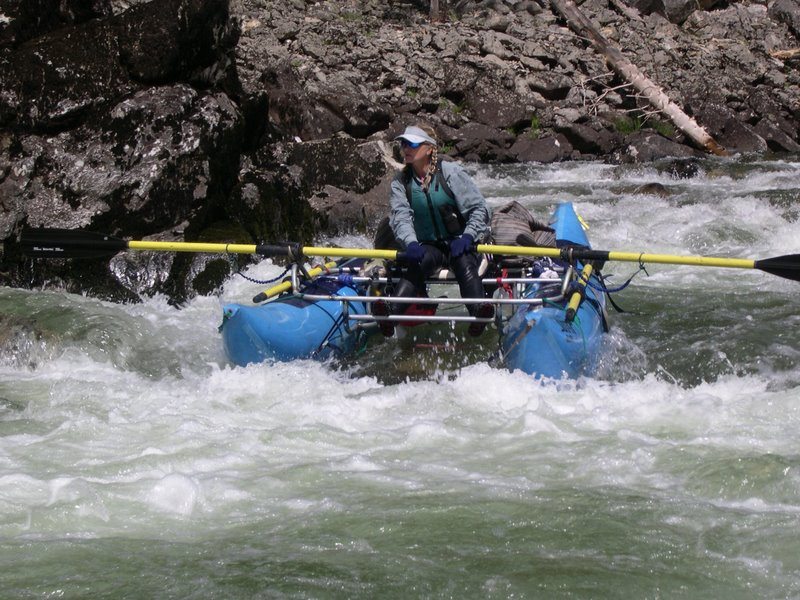
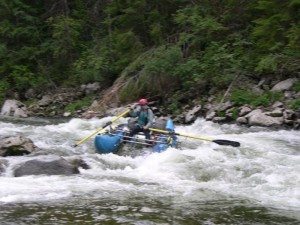
Most of the rapids in the upper end (above Moose Creek) are Class II or so at low water, even though they are rated up to Class III at more “normal” flows. Washer Woman is definitely one to bounce through, only one clear(?) channel on the left. Ping Pong alley if aptly named with the whole river spreading out in a minefield of small boulders. No real clear channel, so just “ping pong” on through. Thank goodness for our light (under 100 pounds total) cat-a-rafts and light gear load. We only got hung up a few times to where we had to “Flintstone” the boats through shallow spots.
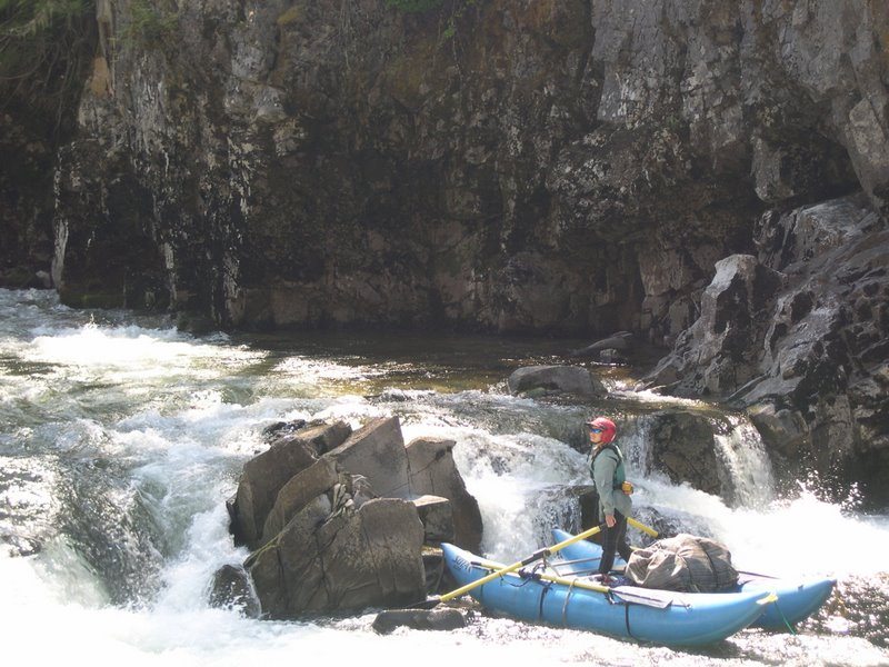
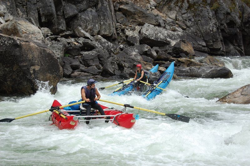
Below Moose Creek is where the fun begins as this day features nearly all of the big rapids on the run. Double Drop is not a big deal at low water, but can be much more trouble at higher water. Ladle is rated a Class IV and it is at higher water. At first glance, there appears to be no good way through the boulder maze at low water. Last year we had a nice sneak chute on the right which was sweet. This year the boulders had shifted and that route no longer existed. There was a tight, but clean(?) route on the far left though.
Just below lurked Little Niagra (Class IV) which at low water was maybe a Class II+. This was followed by Puzzle Creek (legitimate Class III) which really looked more like a “little niagra” in the final drop. A few more Class IIs (at low water) and the hardest part of the run is over.
Well, except for Wolf Creek, which we ran the next day. Took a quick scout and watched some IKs go down. The Left-Right-Left route looked clean enough, so off I went. Left –excellent, Right – crap, an exposed horn rock in the drop that the IK went right over. Not so with the cat. I got test the strength of the NRS frame bar (again!). Then it was back left for the final drop, smooth. Lacey was right behind me an opted for the Left-Left-Left route when I was stuck in the right channel. Excellent choice as this was the clean route! The next major rapid is Jims Creek (Tee Kem Falls) which is a good Class III drop at low water.
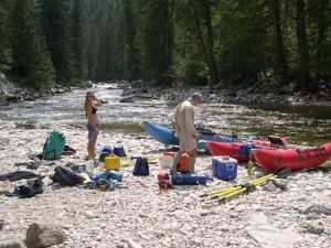
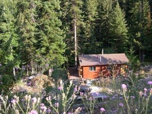
Camps on the Selway are pretty good for the most part, but not marked on my old Forest Service guidebook, so we missed some and had to settle for less desirable areas. Based on our past experience, the following camps are good ones: Little Goat Creek, White Tail Flats, any of the Tony Point camps, Tango Creek, and Ballinger. There are probably other good camps as well.
Weather was good throughout the trip until the last night when we had rain through the night. At least it let up in the morning for the push towards take-out and packing up gear. This is an excellent late-season run if the gage reading is around 1 foot. Small, light cats, rafts, and IKs are the way to go. It is best to keep food and kitchen to a bare minimum. Lacey is great at this!
Overall, the trip is much less difficult than at higher water, except for needing to read shallow water and picking somewhat clean lines through shallow boulder gardens. Compared to the Middle Fork at low water, it is slightly more difficult and a lot more work. The Selway is definitely a pool and drop (or at least pool-riffle) river. Most of the pools are long and slow, requiring rowing to get anywhere, especially if the wind is blowing (upstream as always). This river is well worth it though. Lots of solitude, supposedly good fishing, and a true wilderness feel. At least between the few lodges and airstrips along the way. We only ran into one other group on the river, two guys from Boise in IKs and there were a few fishermen around the access points.
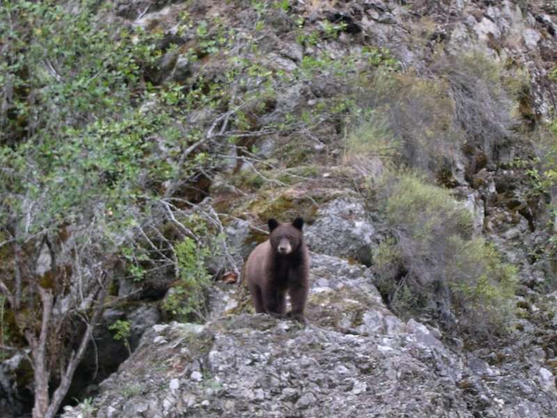
We look forward to maybe doing it again next year! Anyone else want to go? Maybe we’ll see another bear (have seen them on every trip!)

