An Adventure to Remember
Rio Mulatos/Aros/Yaqui
Northern Sonora, Mexico
August/September 2011
From the trip report on our trip in 2010:
After about 2 years of e-mail correspondence (after finding the Sierra Rios website), we finally made plans to join Rocky Contos and Barbara Conboy for what was promised to be one of the finest multi-day raft trips in Mexico. The trip down the Rio Mulatos into the Rio Aros and on to the Rio Yaqui was to be a 7 day, 140 mile journey through multiple canyons with beautiful scenery, good rapids, and interesting side hikes. The trip was timed for the heart of the monsoon season, when good water levels are almost guaranteed.
Flash Forward to 2011:
Having discussed the possibility of running this trip commercially with Rocky, we all worked together to make it a reality. Due to some personal business, the trip would have to be run a bit later in the season. We all wondered about water levels, but Rocky assured us that there “should” be enough water at that time of year based on the historic averages.
Sounds good, let’s go! Between Rocky, Lacey, and I we rounded up eight more people interested in an adventure. The plan was to meet everyone in Douglas, Arizona, transport people and gear down to Sahuaripa, Sonora and on to the put-in at El Victor, near the small town of Mulatos. We planned on spending 7 to 8 days on the rivers (2 to 3 on the Mulatos, 3 to 4 on the Aros, and probably 2 on the Yaqui). Afterwards, many of us would continue on to Chihuahua to run the Rio Conchos for another few days. Although this was billed as the “first commercial descent” of the Rios Mulatos/Aros/Yaqui, it came together more a semi-commercial trip with the clients providing their own boats and gear. Rocky was the trip leader/organizer, Lacey planned and provided some of the food. Lacey and I were considered “guides” along with Rocky as we had been down the rivers before, hauled some of the group gear and food on our cats, and contributed our knowledge of running expedition style trips.
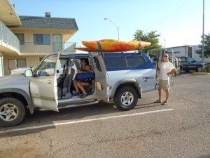
We all met in Douglas, Arizona on August 25 as planned. Boris and Scott had driven Rocky’s van down from Sacramento (California), picking up Geno in Lake Isabella and Terry, Mike, Viviana, and Paul in Phoenix (they flew in). Rocky joined them in Tucson. John met us in Douglas. For travel and transport to the river, we had our trusty Toyota Tundra, now equipped with a canopy and bike rack for hauling frames instead of our pop-up camper, and Rocky’s van pulling Geno’s heavy duty trailer full of gear. We loaded up early in the morning and headed for the border.
(August 26) The border crossing was relatively easy for most of us. Lacey and I purchased our tourist visas and vehicle import permit. Rocky handled the paperwork on the van. Everyone else had an easy time except for Geno, who had an expired passport. Oops! He could not get a tourist visa. Another problem: it was Geno’s trailer on Rocky’s van and both had to be registered to the same owner (even if the owners were traveling together). This made it so that Geno (and the trailer) could go no further than the “free zone” such that traveling into Chihuahua for the Rio Conchos was going to be a problem. It was decided that we would skip the Conchos, do our scheduled trip on the Mulatos/Aros/Yaqui and then explore the possibility of doing the upper Bavispe if there was enough water. An excellent alternative and we were off!
Not so fast…, we needed to do the final shopping. After getting the scenic tour of Agua Prieta on our search for a large supermarket (successful after asking for directions a couple of times), we proceeded to fill three shopping carts with fresh vegetables, lots of beans and rice, tortillas and for the drinkers on the trip, cheap cane liquor (only 28% alcohol) and some Jose Quervo margarita mix. Total cost – around $90. Wow, things are way cheaper in Mexico! A quick stop for gas and another trip around town to get $$ (pesos) from the ATM and we were finally on our way to Sahuaripa (12:45 pm).
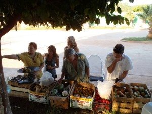
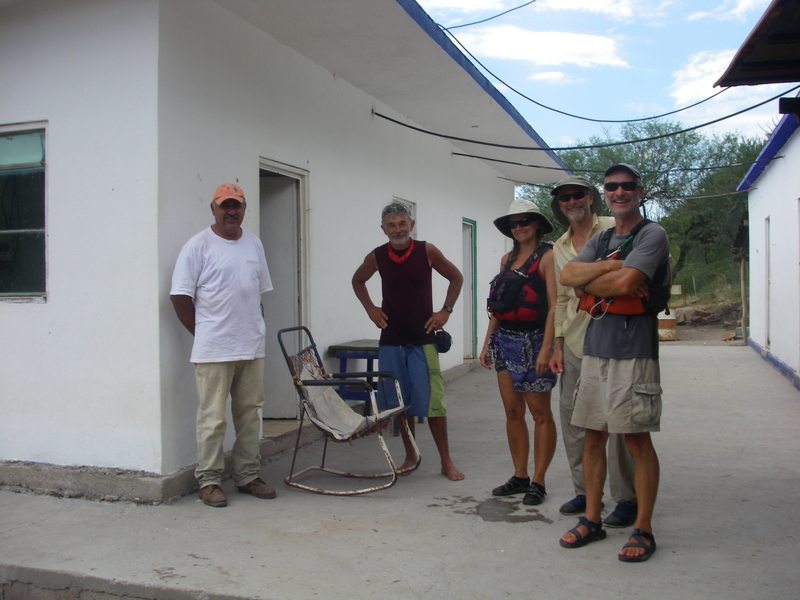
Five hours later we hit Sahuaripa and the first stop is a fruit vendor. We decided by the end of the trip that Rocky just has to stop at almost every fruit stand along the way! In Sahuaripa, we meet up with our shuttle driver, Pokis, and retrieve Rocky’s big cataraft from storage at Pokis’ parent’s house. Since it is almost dinnertime and there is no reason to push on towards the put-in until the morning, we decide to stay in town at the funky Hotel Casa Grande and everyone finds something to eat on their own. Lacey and I sleep out under the stars next to the vehicles to save money; besides the rooms were either hot or noisy (due to the air conditioning). I think we slept better outside until the early morning crowing of the roosters and the chickens scratching around us. Not to mention the long-haired panting dog and his sidekick with some sort of growth on his hind end (we nicknamed him “bubble butt”).
(August 27) Up early and after devouring lots of the fresh fruit (mangoes) for breakfast, we are headed for the put-in by 8:00. Pokis and his father accompany us as shuttle drivers. Our friend Ken, who works for the mine, has suggested we take the Guamisopa route because the shorter Arivechi route is rougher and we might have trouble with the trailer. This is the same route we took last year and I wouldn’t exactly call it smooth…
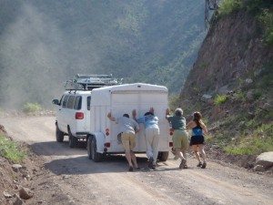
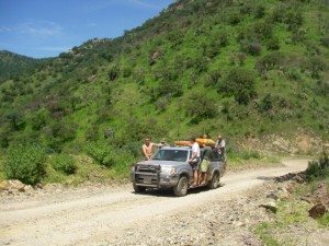
Going up the grades we realize that the van carrying 8 or 9 people and pulling the heavy trailer does not have enough power. Everyone has to get out to lighten the load so it can make it up certain grades. We end up with extra passengers in/on the Tundra. This occurs in several places along the road to the put-in, delaying us substantially. It takes almost 4.5 hours to get from Sahuaripa to Matarachi (normal time would be 2.5 hours?), where we meet Ken and have a reheated lunch (his cooks had prepared some carne asada, salsas, and other items for us the previous evening when we were expected). Ken gives us a geology lesson and accompanies us in his pickup towards the put-in.
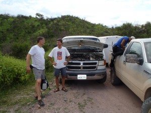
The road into Mulatos has some steep downgrades that have to be negotiated at SLOW speeds due to the roughness. The Tundra in 4×4 low-range does great, but the van pulling the heavy trailer (without trailer brakes) soon overheats the brakes. Pokis stops on one of the few flatter spots to let the brakes cool down. Lucky he was able to stop because by then the brakes were so hot that the van had NO BRAKES. The next downgrade would have likely killed everyone in the van. Ken offers assistance by towing our trailer a few more kilometers to the El Victor put-in with his truck.
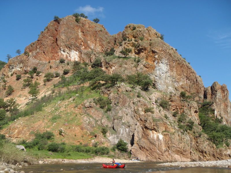
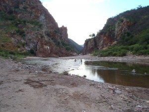
We get everyone to the put-in about 5 pm, just before dusk, unload, start assembling the rafts, and eat some tamales in the dark. The river is extremely low – about 150 cfs by my estimate. Rocky and some of the others agree with the estimate, while others insist there is at least 500 cfs in the river (average flow this time of year is about 1800 cfs). Ken remarks that in his 11 years working at the mine he has never seen the river so low this time of year. Pickups can drive across it, when most years they cannot cross until October or November. Given the difficulties of getting out over the road we just came on, we decide it is best to move forward with the trip, hoping the river will rise and make it easier, and if not, we can probably get back to the put-in from an access point about 5 km downstream.
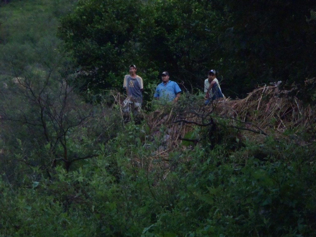
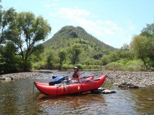
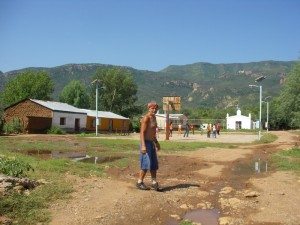
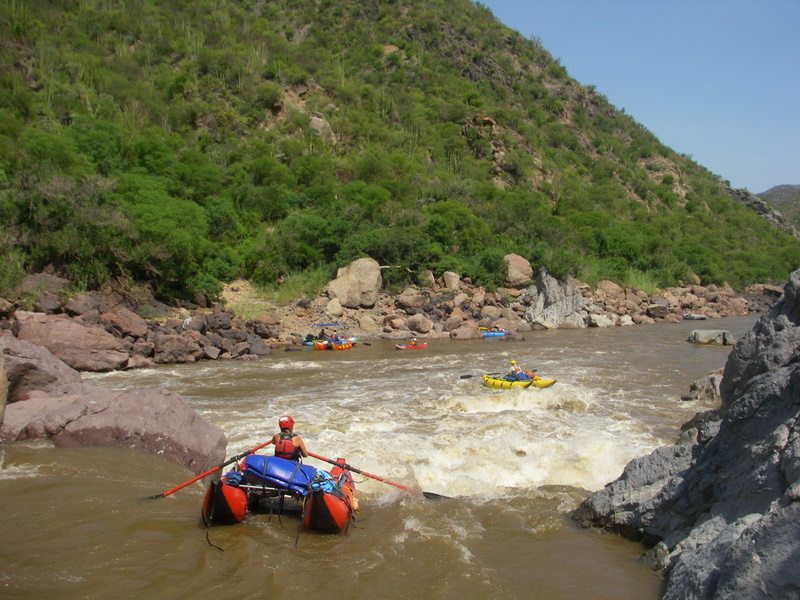
(August 28 – first day on the river) Although the water is low, not many were prepared for it being this low and we now have a bunch of heavily loaded large rafts to get down the river. Paul is rowing Rocky’s 16 foot cataraft, John has a 16 foot Avon complete with two dryboxes and a cooler, and Geno is rowing his big Sotar raft. I’m in my 14 foot cat, Lacey has her 12.5 foot min-Legend cat, Terry has a “loaner” 14 foot Legend, Mike and Viviana are in a large inflatable kayak/canoe, Boris has his inflatable kayak, and Rocky and Scott are in kayaks. I am not feeling too good, having been up most of the night dealing with “Montezuma’s Revenge,” probably from something I ate… The locals watch us with great interest. They don’t get many rafters down here.
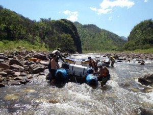
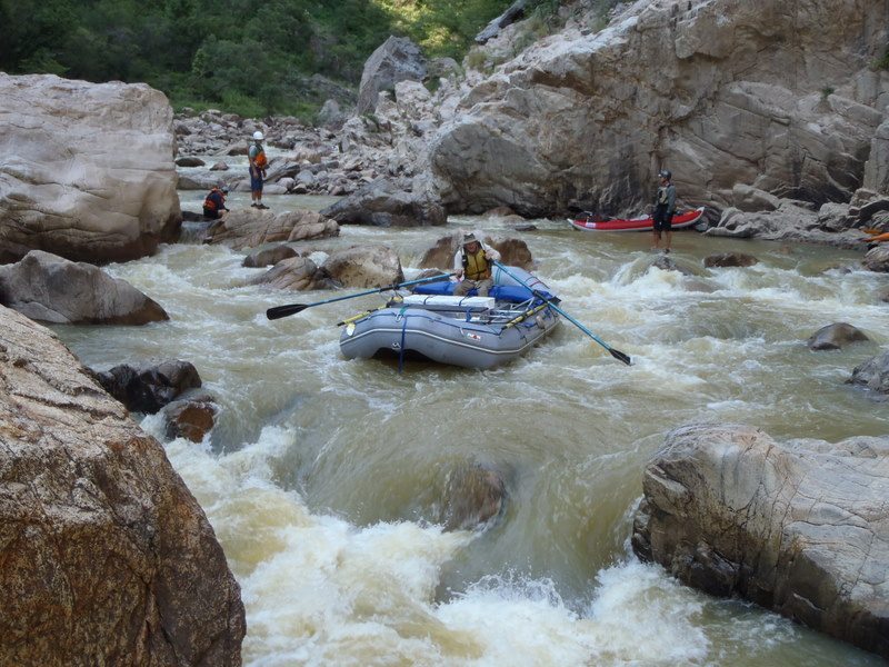
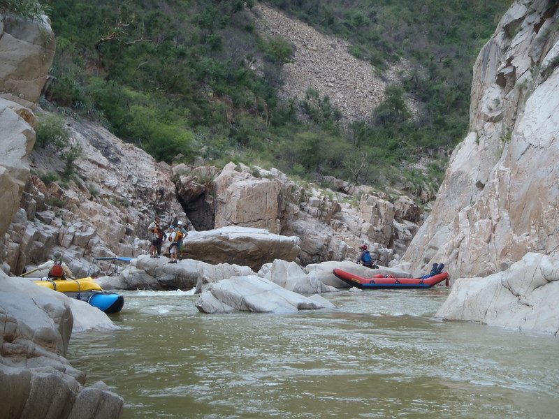
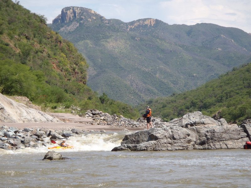
Rocky is surprised that the big rafts can make it over most of the shoals without much problem. However, we soon arrive at the first two class IIIs about a kilometer downstream and have a difficult time pushing the heavily loaded rafts through some narrow channels and over rocks. Some start to doubt whether we should continue. Rocky assures us that we can take out a few more kilometers down if it gets too rough. We continue – all the way down to the first big rapid, Amargosa. There is a small beach there.
Since we will have to line/portage the rafts anyway, we decide to unload, camp, and reload the gear in the morning after the rafts are lined without the weight. Most of the rafts are lined through a chute on RL that day. The kayaks run the small falls on RR. In general the kayaks and IKs have had no problems getting through everything easily, even with water this low. I was sick most of the day and ended up riding on the big cat in the afternoon while Rocky rowed my boat. The illness catches up to Rocky and Lacey a bit later. We made it about 12 km downstream today.
(August 29 – Day 2) The river is about the same level as the previous evening – maybe an inch lower. We are on the water by 8 am and continue through Barranca Mulatos. The two rapids after Amargosa are tricky to line/push rafts through, but we make it. Lacey and I line our boats down a small falls on RR while the others go RL at the bottom of the Boulder Arroyo section. After that, nearly every rapid is a challenge – even many that normally would be class I-II. Mike comments that this is fun since every rapid is like a puzzle where we have to figure out how to get the rafts through.
Boris is in his element, directing the rafts and leaping from boulder to boulder to help us negotiate the tight spots. He seems to be enjoying this trip immensely.
It becomes apparent that we are not making the progress that we need and that the major problem is the large rafts that are pretty heavily loaded. We have had to unload the gear from the rafts, line them through a rapid, and reload them at least once since Amargosa. With the exception of Rocky’s large cat, the other smaller boats are having a much easier time negotiating the rapids and are much easier to lift over the rocks. Of course, the kayaks and IKs haven’t really had any problems. Mike even catches some air on one of the rapids!
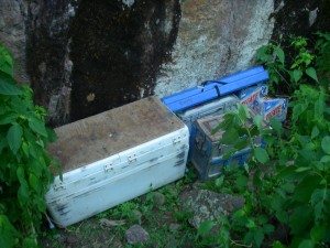
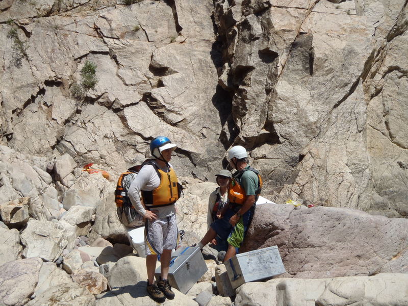
At lunchtime, we decide to lighten the load on everyone by leaving a lot of the food (much of it extra) and some unneeded gear hidden above the river. The sandy beach becomes known as “Jettison Beach.” We redistribute some of the heavier items into the smaller cats and IKs. After over 2 hours sorting through and leaving this gear, we continue with the lightened loads, making about 3 km more over the next 2 to 3 hours and camp early at probably the nicest spot in Barranca Mulatos. We are now about 17 km from the put-in.
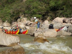
(August 30 – Day 3) We continue through the rest of Barranca Mulatos, starting around 8 am. The biggest rapids are extremely challenging. Boris often is in the lead and directing the best route, then helping push/lift rafts where needed. The kayakers and Mike are usually behind, making sure all the rafts get through each spot, then moving up to other places where there are difficulties. The three small catarafts generally do not have many problems. Paul hurts his foot – he thinks something may be broken.
Saucito (class IV) required some tricky maneuvering to get the rafts through.
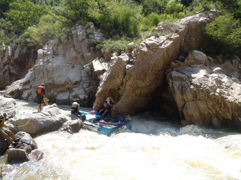
Unscathed (class IV) ends up being one of the toughest rapids to get the rafts through. Geno’s boat gets stuck in a narrow slot at the bottom.
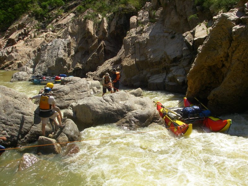
We do not want to risk running their small cats down into it due to an eddy and hole in the wall that looks nasty. We end up lining the smaller cats down to the main chute to get them through.
The other two big boats are unloaded and coolers/boxes portaged to the end, while the rafts are lined/lifted through a narrow chute on RL.
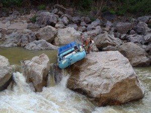
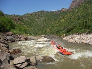
After another kilometer we get to the first rapid of Dos Mas (another class IV), which ends up requiring careful lining. [insert 8290425] Lacey almost gets tangled in the rope so Rocky lets go of the rope; she and her cat go high up on its side and almost flip!. The second rapid of Dos Mas requires some lining but is not overly difficult. It is interesting to see the tougher rapids at the very low flows. We camp soon after Dos Mas on a nice beach RR. Slow going, only about 4 km today.
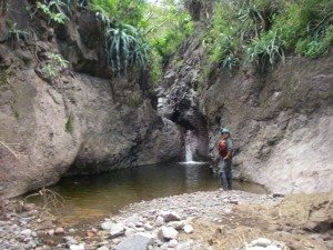
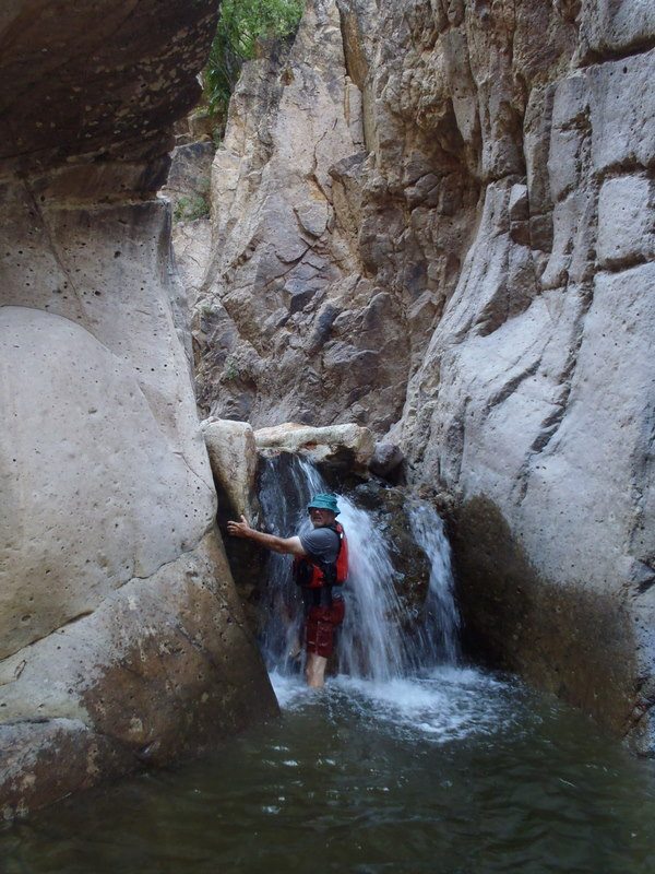
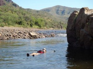
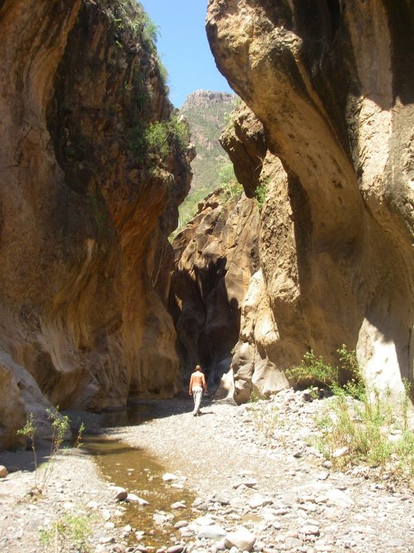
(August 31 – Day 4) We start around 8 am, and the rest of the class IIIs are less challenging down to arroyo (and rapid) San Francisco. Arroyo San Francisco has an interesting little slot to walk through and some nice soaking pools. After the last class III below the arroyo, it is much easier going. We make many more km but still not enough to reach the confluence with the Aros. Wow, a total of 19 km today.
(September 1 – Day 5) We start around 8:30 am and make it to Arroyo La Palmita (12 km downstream) by 11 am where we enjoy the clear warm water and have a long lunch. By about 2 pm we are at the confluence with the Aros. I estimate that the Aros is carrying about 2 to 3 times the flow we have in the Mulatos, making for around 600 cfs total. We find out later that the Aros actually has about 19 cms (670 cfs) some distance downstream, so at the confluence we had slightly less (maybe 630 cfs).
There is a nice little arroyo 2 km downstream that Terry and Rocky explore and get some drinking water. Everyone should stop there next time. With the added flow, there is no more dragging, pulling, lining or portaging for the rest of the trip. We make it about 7 km downstream of the confluence by 4:30 pm and camp at a nice beach RR (km 69). Whew, 23 km today.
(September 2 – Day 6) The water is about the same level as the previous day. We get to the small village of Natora before 11 am and several of us go in and check out the town. Natora has a small store, some beer available, and a phone. We discuss possibly ending the trip here, but decide to all stick together and continue. We pick up more provisions (beans, tuna, salsa, Maruchan) for the anticipated longer time on the lower river (6 to 7 more days).
The class II to class III rapids downstream of Natora are still pretty fun at the low flows: Stratified, Rancheria, and Tunapa. We camp RR at km 96, about 4 km before Arroyo El Aliso. Another good day, 27 km total.
(September 3 – Day 7) The water rises about 3 to 4 inches by morning (now estimated at 1000 cfs) and makes the going much easier. We get to Arroyo El Aliso early. This is a great spot to stop, get water, swim, and explore.
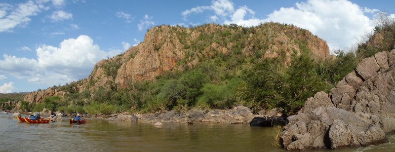
After lingering there for over an hour, we are off again and enjoy some of the class II+ rapids downstream and then enter the Lone Palm Gorge. Even at low water, the rapids in the gorge are quite fun. We camp early on RR near km 125.5 and enjoy a great dinner of North African stew with Harissa prepared by Lacey from her book “Camp Cooking WITHOUT Coolers II.” We cover about 30 km today.
(September 4 – Day 8) The water rises another 5 to 6 inches overnight (now estimated at 1300 cfs). We stop at Rio Bonito, then Arroyo Santa Rosa for lunch (19 km down).
Roca Roja (class III+ at higher water) and other rapids are very easy but fun. We stop at the Nacori Chico gaging station and find out the actual flows for the previous days. Rodrigo there confirms that these have been record low flows for August (and that our estimates have been pretty close). We camp fairly early (~4 pm) at a nice sandy camp and set up the kitchen in a flat area just above the current waterline. After eating, we notice that the river has risen a few more inches and the kitchen should be moved higher. We start moving the kitchen but stop to have a meeting to discuss whether we should take more time on the rest of the trip instead of pushing hard for the take-out. As we are discussing the pace, the water starts rising quickly into the kitchen area – it rises about 3 ft total within an hour. Everyone is amazed by the rapid rise in water. Finally, we have a decent flow, but still quite low compared to the historical averages. Lacey does food today again; some excellent falafel with rice and salad. Camp is on RL around km 158. Total 32 km today.
(September 5 – Day 9) In the morning, he water has receded from the peak the night before, but is still 1 to 2 ft higher than when we landed. We now estimate the river is flowing at about 2700 cfs. We continue downstream into Canon La Bocana and stop to scout and run Morita (class IV at higher water), which is still a challenging rapid at the lower flow. All of us run the ledge on RR. We make an early stop at Arroyo Las Perdices and decide to have lunch there too. Lacey and I, along with Rocky, Mike, and Viviana, hike a short distance to some nice pools and relax for a while before returning to the boats for lunch. We take our time going downstream and stop to explore many side canyons that day, yet still make 21 km easily to camp at km 179 on RL.
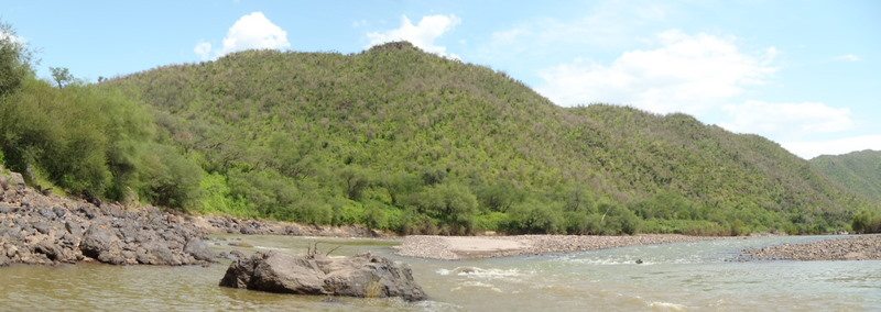
(September 6 – Day 10) The river level has come up a little overnight. We continue downstream and pass the Rio Bavispe confluence where we gain some more flow (~200 cfs) and the river changes name to the Rio Yaqui. Many of us stop and explore some side canyons today. An especially nice one is the second “Golden Hike” (km 195 RL) where a 1 to 2 km hike up leads to a palm oasis with a few sitting pools with fish. None of us have a camera along… Water levels in all of the arroyos in this lower section are very low compared to other years; some of them don’t even have running water at the mouth. We camp on RL at km 210 after a leisurely 31 km today.
(September 7 – Day 11) We plan on being at the take-out in the early afternoon. As this a couple of days earlier than anticipated, Rocky paddles on to the take-out to see if he can get the shuttle drivers to bring our vehicles in early. He misses the ranch owner and has to paddle to the bridge, stash his kayak, and then run to Sahuaripa in the heat. The distance is 17 km (about 10 miles). He makes it about 12 km by the time a car comes by and gives him a ride the rest of the way. He and Pokis arrive back at the take-out around 2:30, just as we are finishing carrying the gear up to the loading zone. Thankfully they have brought some ice water and cold beer for the group. We load up the trailer and van and head back to Sahuaripa for another night at the Hotel Casa Grande. Needless to say, with the longer trip and low water, there are no plans to run the upper Rio Bavispe!
(September 8) After a breakfast of fruit and cereal (yes we stopped at the fruit stand again) we depart Sahuaripa around 8:45 am and arrive at the border 5 hours later. Lacey and I with some passengers cross easily, pick up Geno who decided to walk across the border (no problems with his expired passport) and head for the Motel 6 in Douglas. It takes about an hour for Rocky and crew to cancel the permit for the van and cross the border. We rendezvous at the Motel 6, unload John’s gear and by 3 pm the van is off, heading for Phoenix. I decide to ride back in the van because Lacey and Rocky will use the Tundra to continue travelling in Mexico to run some more rivers. I really wish I could accompany them, but have to get back to work…
We drop Terry, Paul, Mike and Viviana in Phoenix; Paul managed to get a flight out that night while the rest will stay in a motel and change their flights in the morning. Boris, Scott, Geno and I continue in the van towards Lake Isabella and arrive there about 5:00 am and unload Geno’s gear. Boris, Scott, and I make our way back to Sacramento where we unload gear and I drive the van back to my house. Wow, 28 hours straight traveling in the van from Sahuaripa to Sacramento. Not bad, but we are all really tired. I take the van over to Terry’s the following day.
Was it worth it? YOU BET IT WAS. Everyone signed on for an adventure and with the low water, it definitely was that. I think everyone will remember this trip for a long time.
Would I do it again? Absolutely, but if the gravel bar is showing in the Rio Yaqui at Puente Sahuaripa (the bridge) we won’t even go to the put-in until it rains and brings the flow up! I’m hoping to continue to run trips like this in Mexico and explore other options for commercial trips down there with Rocky. The country south of our border has some amazing rivers and Rocky is the expert on the possible whitewater trips. He literally wrote the book on the Sierra Occidentale Norte. Check it out at http://www.sierrarios.org/.

